

Big Sur features a rugged stretch of coastline between Carmel and San Simeon and is undoubtedly one of California’s best coastal hiking areas. Along with breathtaking ocean and valley views, Big Sur hiking trails feature waterfalls, secluded beaches, and oak woodlands. Since this all is all about the nature, hiking is undoubtedly one of the most popular things to do in Big Sur, so read on to discover where to go hiking in Big Sur.
Best Hikes in Big Sur
Big Sur has trails suitable for all levels and fitness abilities, as well as various lengths. There are so many options that it’s best to create a Big Sur itinerary so you don’t miss your favorite trails.
But first: Don’t miss the rest of my hiking California guides, and more on Big Sur, of course!
Big Sur River Gorge Trail, Pfeiffer Big Sur State Park
- Distance: 1.9 km / 1.2 miles
- Duration: 30 – 45 minutes
- Difficulty: Easy
- Elevation: 23m / 75ft
The River Gorge Trail is leisurely, tranquil and largely unknown, making it one of the best hikes in Big Sur. This hiking route will take you away from the crowds into an untouched area where you can dip your feet in the refreshing water. Moreover, with multiple swim holes and lots of shade, it makes a lovely place to enjoy a picnic lunch and spend a peaceful afternoon connecting with nature.
The trailhead is pretty hidden, which adds to its appeal. You’ll find it between sites 111 and 112 in Pfeiffer Big Sur State Park Campground.

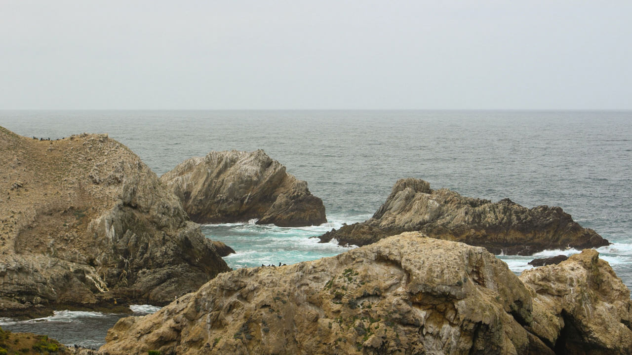
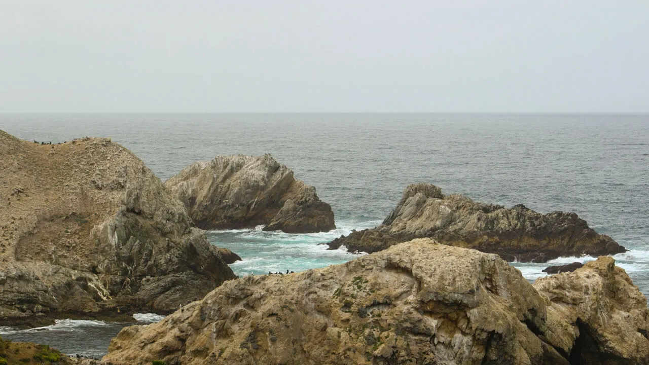
Soberanes Point and Whale Peak, Garrapate State Park
- Distance: 2.9 km / 1.8 miles
- Duration: 1 – 1.5 hours
- Difficulty: Easy
- Elevation: 95m / 310ft
You’ll find this short and gentle Big Sur trail on the coast side of Garrapata State Park near Carmel-by-the-Sea. The Soberanes Point and Whale Peak trail gives amazing clifftop views up and down the coast and is full of flowers and wildlife. From the hilltop, you might spot otters, seals, and sea lions in the ocean below.
There are a few different trailheads along Cabrillo Highway to start the looped route. However, each one has limited parking, so it’s best to do this walk early in the morning.
Pacific Valley Bluff Trail, Los Padres National Forest
- Distance: 2.6 km / 1.6 miles
- Duration: 45-60 minutes
- Difficulty: Easy
- Elevation: 42m / 137ft
You’ll find the scenic Pacific Valley Bluff Trail just above Sand Dollar Beach in the Los Padres National Forest area. The trail follows a flat path that crosses into some grasslands and then towards some rocky cliffs. Here you’ll have a fantastic view of the ocean below and in front of you.
Along the route, you may also see cows grazing nearby and seasonal flowers around the bluffs. Another great thing about this trail is as it’s so short, you can combine it with the 0.4 mile Sand Dollar Beach walking route.


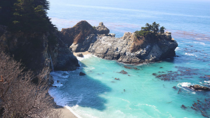
Overlook Trail to McWay Falls, Julia Pfeiffer Burns State Park
- Distance: 1.9 km / 1.2 miles
- Duration: 30-45 minutes
- Difficulty: Easy
- Elevation: 59m / 193ft
This short and sweet trail in Julia Pfeiffer Burns State Park has little elevation gain and will take you less than an hour. Other than a few steps at the start, the path is flat and wide, making it accessible to most.
The overlook trail gives you a splendid view of the McWay Falls plunging down into the cove, and you will see this waterfall at its best around sunset. The course is easy to find, and the most convenient way to access it is to park at Julia Pfeiffer Park.
Mill Creek Trail, Los Padres National Forest
- Distance: 3.7 km / 2.3 miles
- Duration: 1 -1.5 hours
- Difficulty: Easy
- Elevation: 126m / 413ft
This Big Sur waterfall hike leads you through the beautiful redwoods of the Los Padres National Forest, following the creek then leading to a lovely waterfall at the end. There’s also a nice picnic ground here so you can enjoy a packed lunch after.
The trailhead is along the Nacimiento-Fergusson Road from Highway 1. You will see a small dirt parking lot along with a sign. Note that the route starts with a steep but brief climb but then from there onwards, the descends and ascends are all very gradual.
Cypress Grove Trail via South Shore Trail, Point Lobos State Reserve
- Distance: 2.7 km / 1.7 miles
- Duration: 1 – 1.5 hours
- Difficulty: Moderate
- Elevation: 38m / 124ft
This hiking route combines two short trails, South Shore and Cypress Grove, bringing you double the scenic views of the beautiful Point Lobos State Reserve. You can start this combo trail at the South Shore Trail parking lot.
Follow South Shore Trail northbound, where you’ll stay close to the coast, passing Weston Beach, where you can take a short detour down to the tide pools. The path then reaches Sand Hill trail, where you should turn right to join the Cypress Grove Trail. The whole route is picturesque, and it features many cool rock formations and an abundance of birdlife.
Valley View Lookout via Pfeiffer Falls Trail, Pfeiffer Big Sur State Park
- Distance: 2.9 km / 1.8 miles
- Duration: 1 – 1.5 hours
- Difficulty: Moderate
- Elevation: 169m / 554ft
This peaceful uphill hike takes you through the redwoods and gives stunning views of the valley below. Although it’s one of the shorter Big Sur trails, it is pretty steep at points. However, don’t let that put you off, as there is so much to see here, including iconic redwood trees, colourful wildflowers, and a cascading waterfall.
Begin this peaceful hike at the Pfeiffer Falls Trailhead on the turn-off just before Big Sur Lodge. Follow Pfeiffer Falls Trail through the Redwood Grove before the terrain starts to change as you ascend up towards the lookout.
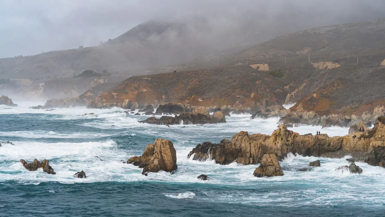
Ragged Point Clifside Trail, San Simeon
- Distance: 1.3 km / 0.8 miles
- Duration: 1 hour
- Difficulty: Moderate
- Elevation: 82m / 270ft
This short cliffside trail will take you no more than an hour to complete and will lead you to a breathtaking view of the point where the Santa Lucia Mountains meet the roaring ocean. However, don’t let the short distance fool you into thinking this hike will be a breeze. It involves a steep, slippery hillside, which you’ll need proper hiking shoes and careful maneuvering for.
You’ll find the trailhead by the parking lot next to Ragged Point Inn & Resort on Cabrillo Highway. The start of this hike is a descent down the cliffs, where you will come to a small black sand beach. Here you’ll be welcomed with a surprise view of the Black Swift Falls, cascading from 300 feet above.

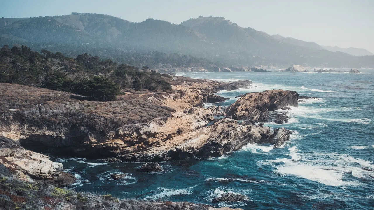
Point Lobos Loop Trail, Point Lobos State Reserve
- Distance: 10.8 km / 6.7 miles
- Duration: 3 – 4 hours
- Difficulty: Moderate
- Elevation: 226m / 740ft
For anyone who is after a real outdoors adventure, the Point Lobos Loop Trail is one of the best hikes in Big Sur for you. The trail loops around the whole Point Lobos State Reserve and includes the shorter trails, Cypress Grove, South Shore, North Shore, and Cabin Trail. This 10.8km loop features a diverse landscape and terrain, from tidepools and rocky beaches to Monterey pine trees and wildflowers.
As it’s a long trek, avoid doing it in the middle of the day. The best time to visit is September, when the heat is easing off, and the skies are most likely to be clear. Furthermore, you can join the loop at any of the trailheads here.
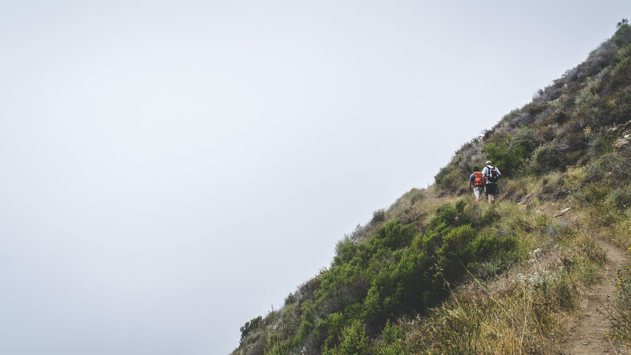
Bluffs and Panorama Trail via Creamery Meadow, Andrew Molera State Park
- Distance: 12.7 km / 7.9 miles
- Duration: 3 – 5 hours
- Difficulty: Moderate
- Elevation: 389m / 1276ft
Bluffs and Panorama Trail is one of the longest hikes in Big Sur and is abundant in both nature and beach views. The 12.7km trek will show you the best of the relatively undeveloped Andrew Molera State Park, including vast meadows, coastal shrubs, and a partially wooded ridge. The views from the end really are panoramic and breathtaking. They will certainly not disappoint you after the long slog to get there.
This trail is great to hike in all seasons except winter when it can be inaccessible. Begin this hike from the creamy meadows trailhead, then turn left as you reach the cliffside onto the bluffs trail. You can extend the walk a little further if you wish by coming back inland via the ridge trail.
Enjoy your time in California’s stunning coastal scenery!
When is the best time to go hiking in Big Sur?
The high season in Big Sur is April through until October. The best time for wildflower spotting is in the spring, but fall time will have fewer people on the trails. Winter hiking is possible too but always check for closures as some businesses and camping are seasonal.
Big Sur Hiking Tips
Wear layers
The temperature can change quickly here, especially when a breeze hits you! And it’s not all about basking in the sun and hot like many think all of California is. It’s essential to have layers that you can take off or add on, especially if you’re doing multiple hikes throughout the day.
Check for trail closures
This beautiful area of California is certainly dramatic in the scenery, but that also means that dramatic weather is around too. Sometimes trails are closed due to mudslides, wildfires, extreme weather, and more. Keep an eye out on the websites of the parks that your desired hikes are in.
Have navigation handy
I highly recommend downloading the AllTrails app and even paying for the premium version that allows you to download trail maps to use offline. It’s very affordable and makes sure that you can always find your way back to your car or even the trail if you wander off.